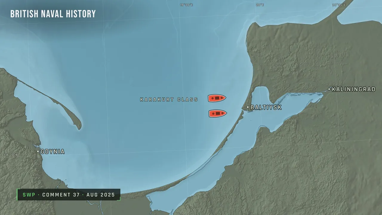
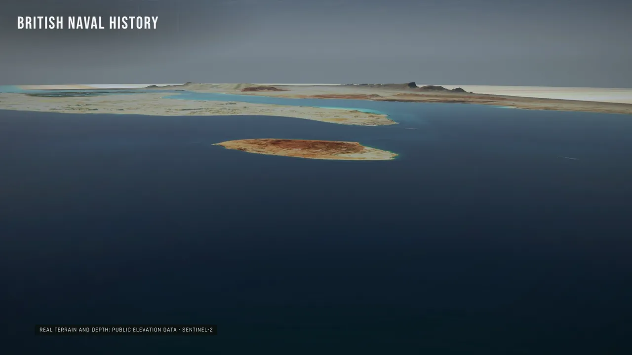
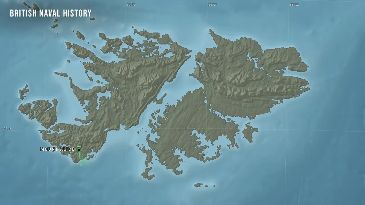
Real seabed and coasts
Maps are built from ETOPO 2022 depth data and Natural Earth coastlines, both public domain. Positions come only from the record.
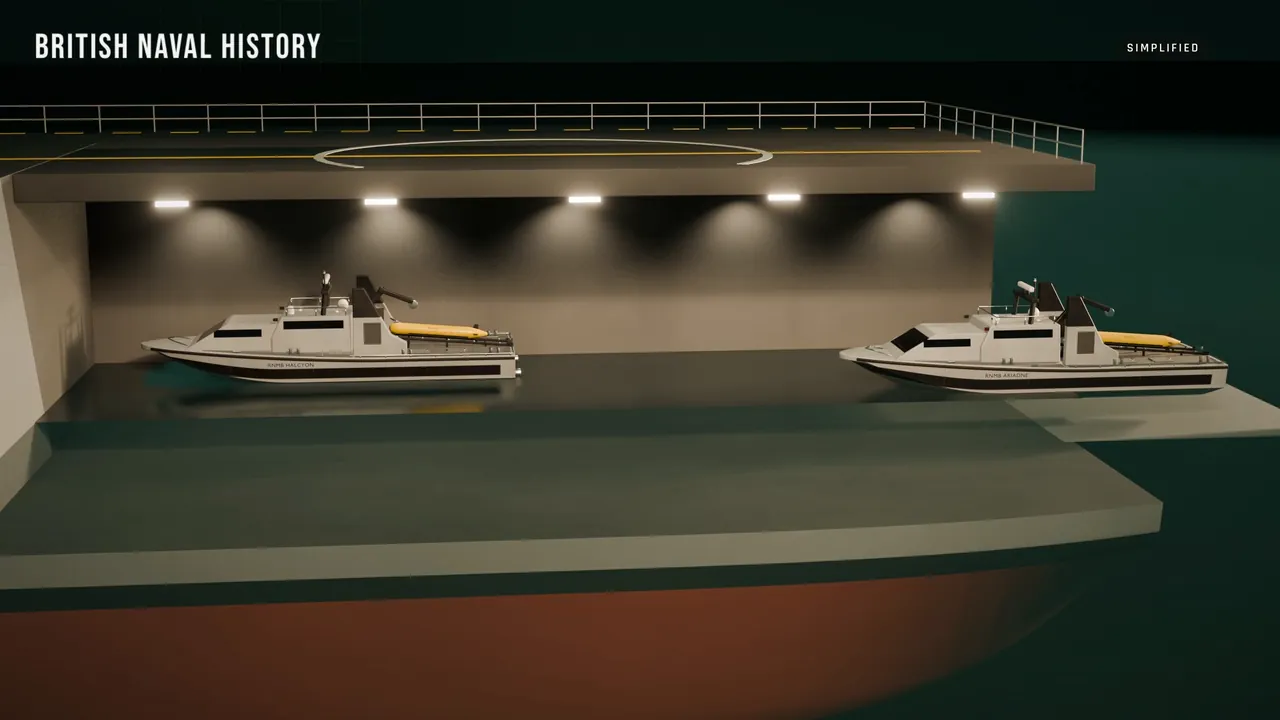
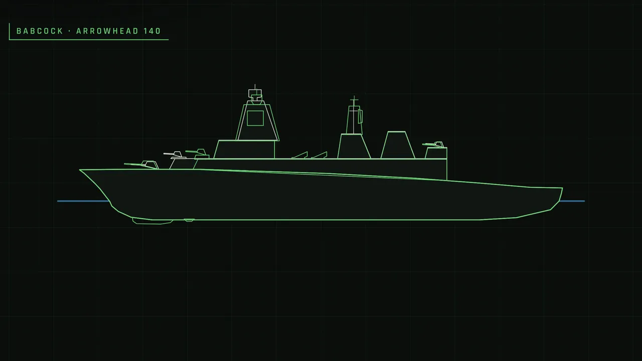
Ships drawn as their real class
Side and top views traced from plans and photographs, down to the variant: the right mast, gun and hangar for the date shown.
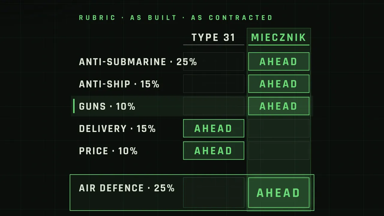
Every number sourced
Dates, tonnages, costs and ranges come from research notes with their source, and we show you the list.
Reconstructions labelled
Simplified drawings and reconstructions say so on screen. We never invent quotes, documents or footage.